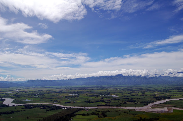
The Rio Grande de Mindanao, as Mindanao River or on its upper reaches as Pulangi River called, is the largest river in the southern Philippine island of Mindanao, and the second greatest of the entire island nation.
~~~
~~~
The main source is located in the 2093-meter high mountain Tago, north of Malaybalay City, southwest of Butuan City in the highlands of Bukidnon. Here he is called Pulangi River and flows southward into the province Cotabato. Its main tributaries are the Buluan, of Allah and in the mountains of Kalatungan springing Muleta.
The water catchment area of the river extends from the mountain range of Mount Kimangkil in Bukidnon to the north over the mountain Apo to Daguma Mountains from the south and comprises a total of 23,169 km ².
The water catchment area of the river extends from the mountain range of Mount Kimangkil in Bukidnon to the north over the mountain Apo to Daguma Mountains from the south and comprises a total of 23,169 km ².
In rainy periods occur in its river course often floods that the country makes on its banks fertile and productive. Agriculture in general and rice, in particular, is influenced by him favorably. He is also an important factor for the aquaculture and fisheries. Not to mention his role as a waterway. The river is one of the major routes for goods to and from Cotabato City. More recently, he has been also more interesting for tourism. By boat tours, water sports and boat racing to the river to the attractiveness of the central provinces of Mindanao contribute.
~~~
~~~


No comments:
Post a Comment